
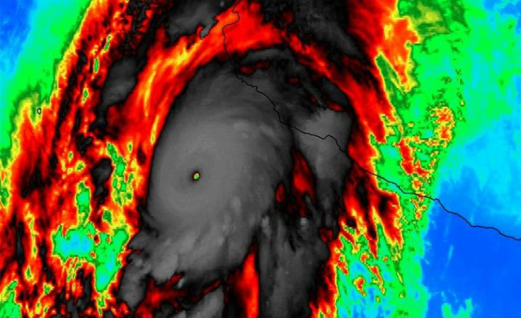
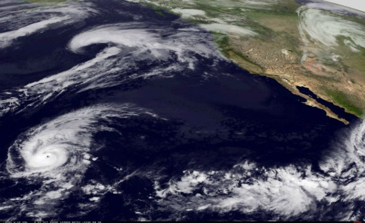
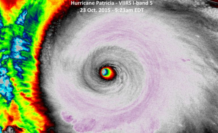
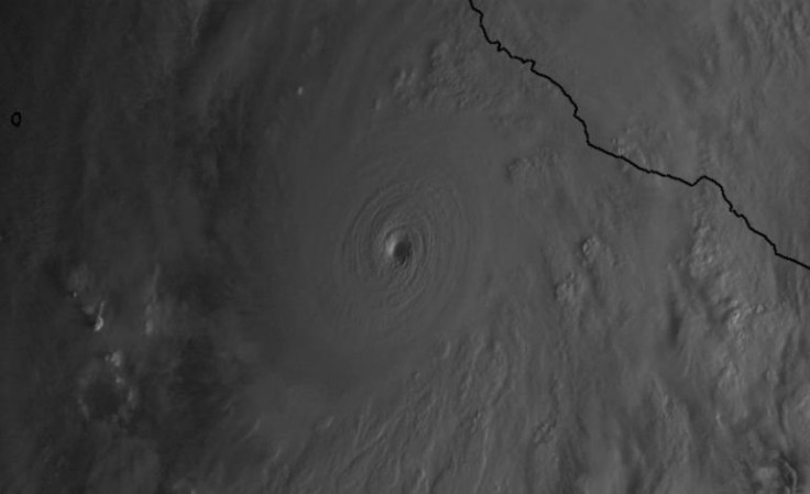
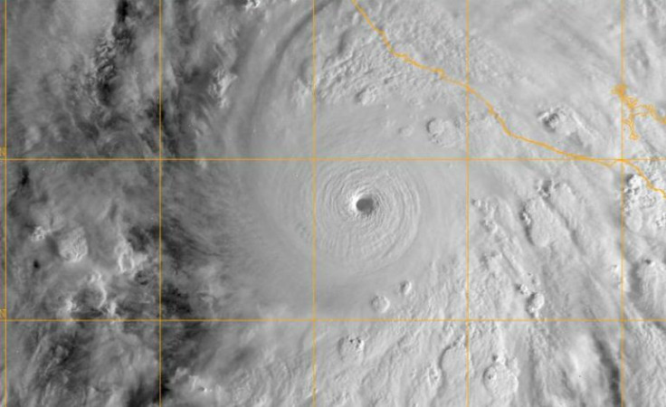
Hurricane Patricia is the strongest hurricane ever recorded in the Western hemisphere with top winds near 200 mph. According to The U.S. National Hurricane Center this storm is expected to make landfall late Friday afternoon as a category 5. Mexican authorities declared an emergency in the three coastal states of Jalisco, Nayarit and Colima, closing schools and making residents to take serious precautions.
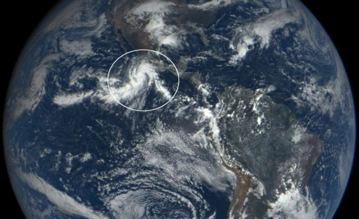
"Patricia is expected to produce total rainfall accumulations of 8 to 12 inches, with isolated maximum amounts of 20 inches, over the Mexican states of Nayarit, Jalisco, Colima, Michoacan and Guerrero through Saturday. These rains could produce life-threatening flash floods and mud slides," the NHC reported. Check out these top 5 images that shows the magnitude of Hurricane Patricia.
For more stunning meteorological images of Hurricane Patricia you can click here.
© 2024 Latin Times. All rights reserved. Do not reproduce without permission.