
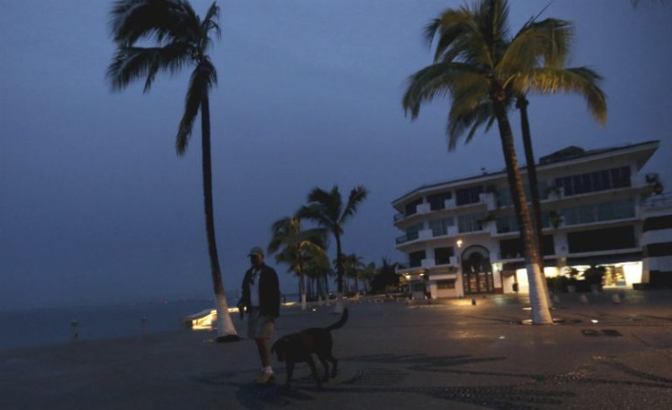
Mexico prepares for Hurricane Patricia, a Category 5 storm with the potential to be the strongest cyclone, hurricane, or typhoon to ever make landfall in the Western hemisphere. "Mexico's Pacific coast is in the crosshairs of Hurricane Patricia, which became the most powerful tropical cyclone ever measured in the Western Hemisphere on Friday morning as its maximum sustained winds reached an unprecedented 200 mph (320 kph)," The Weather Channel reported.
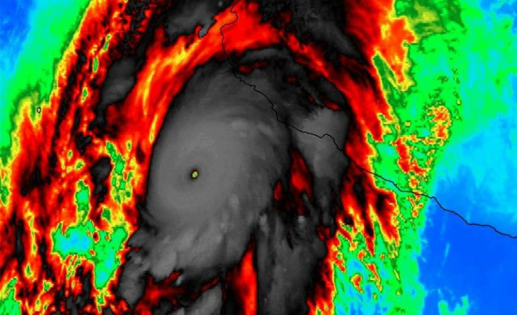
According to the NHC's projected path on Friday morning, catastrophic destruction would occur in a small area of Mexico's Jalisco State, between Manzanillo and Puerto Vallarta, "Patricia is expected to produce total rainfall accumulations of 8 to 12 inches, with isolated maximum amounts of 20 inches, over the Mexican states of Nayarit, Jalisco, Colima, Michoacan and Guerrero through Saturday. These rains could produce life-threatening flash floods and mud slides."
"Residents in low-lying areas near the coast in the hurricane warning area should evacuate immediately, since the storm surge could be catastrophic near and to the east of where the center makes landfall," the NHC warned. "Preparations to protect life and property in the hurricane warning area should have been completed, or rushed to completion, as tropical storm conditions are beginning to affect the area."

© 2025 Latin Times. All rights reserved. Do not reproduce without permission.


